ProfessionalAerialServices,MendocinoandSonoma
Professional drone services delivering cinematic imagery, detailed inspections, and survey-grade data — safely and reliably.
What We Do
From cinematic video to technical inspections — professional aerial solutions for every project.
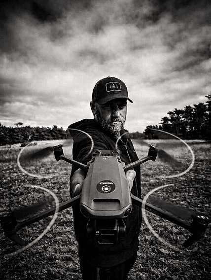
Sean Dewil
Founder & FAA Certified Pilot
Founded BlueCurve to bring professional-grade aerial services to Mendocino and Sonoma Counties.
Read more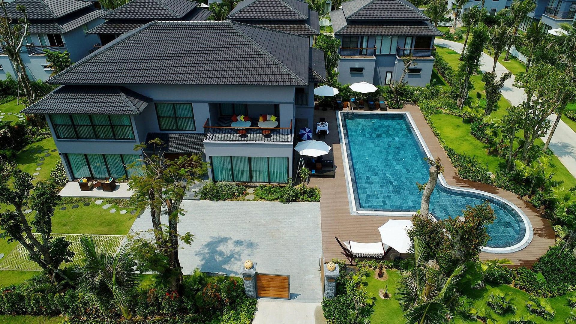
Real Estate & Hospitality Media
Aerial media for listings, lodging, retreats, restaurants, golf courses, and destination properties — showcasing location, scale, and experience.
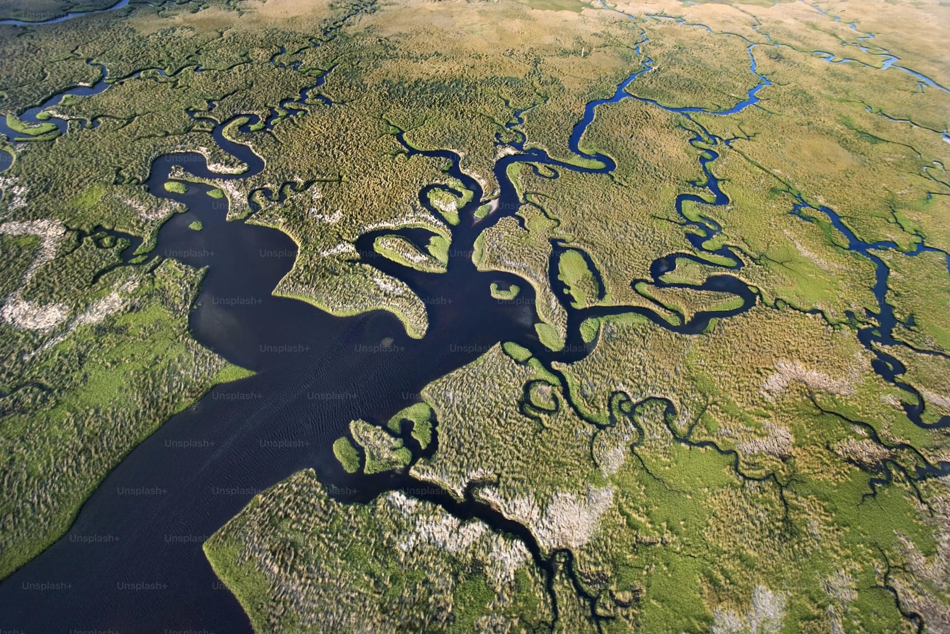
Environmental Monitoring
Utilizing advanced drone technology to monitor river and marine ecosystems, track wildlife populations, and deliver high-resolution data that protects habitats and drives environmental conservation.
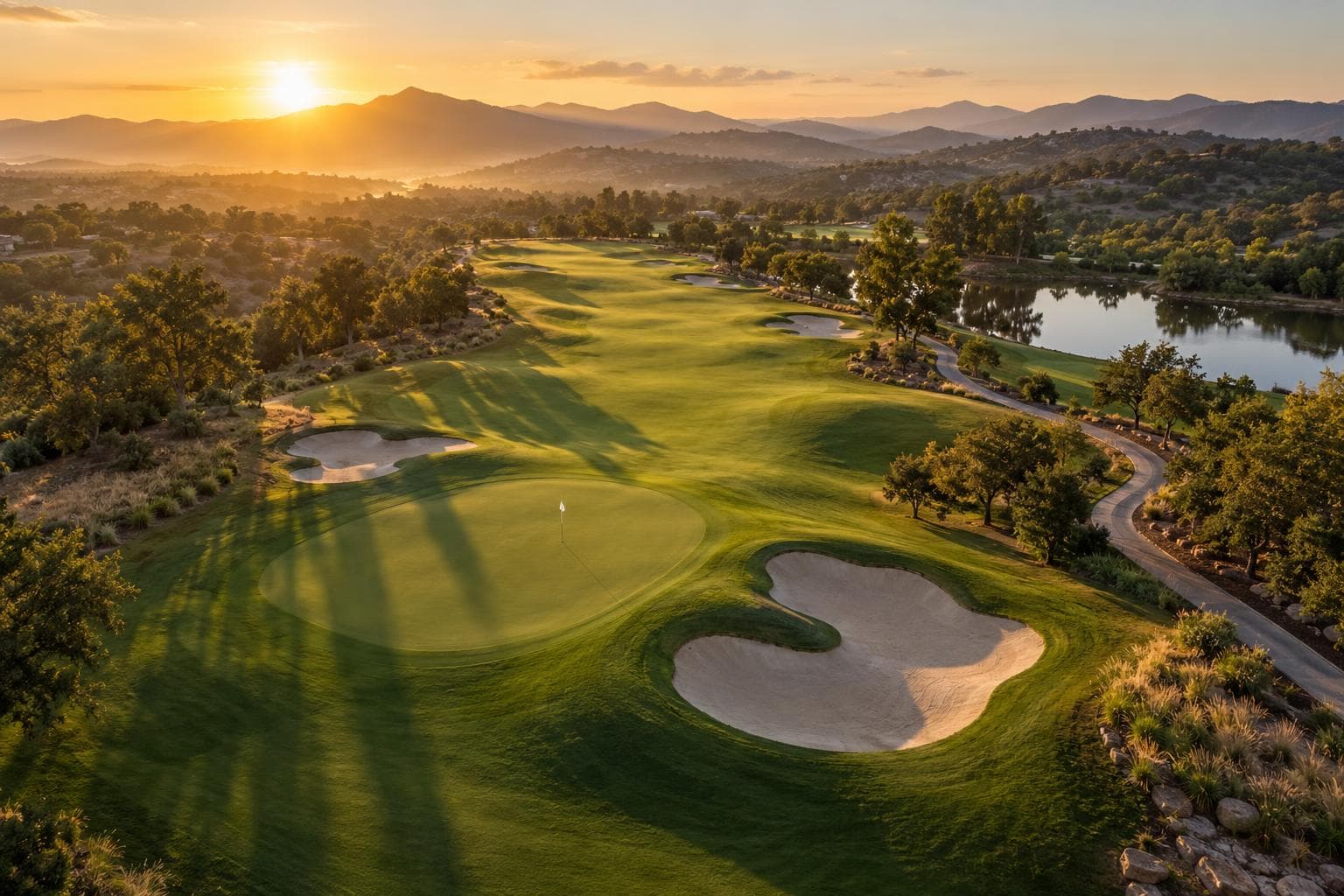
Wildlife Mitigation
Aerial perspective to assess wildlife activity, document problem areas, and support humane mitigation planning across large or hard-to-access terrain.
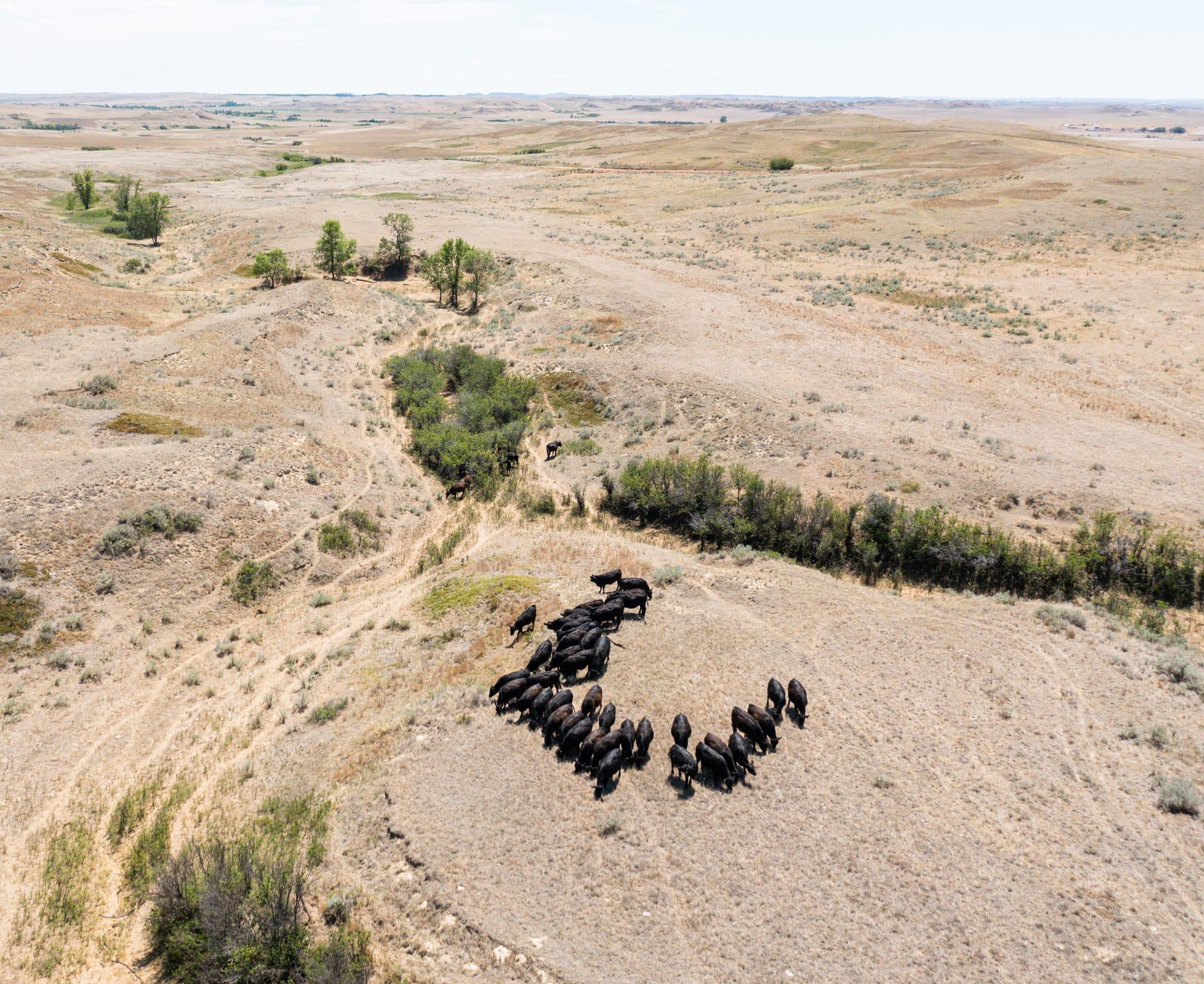
Pet & Livestock Search and Recovery
BlueCurve uses advanced drone technology to help locate lost pets and livestock, especially across the large and challenging areas of Mendocino and Sonoma Counties.
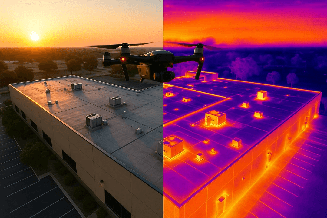
Property Inspections
Safe, efficient inspections of roofs, solar arrays, towers, and infrastructure — no scaffolding required.
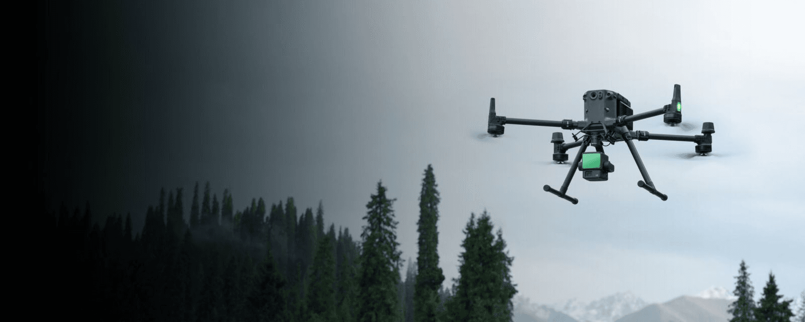
Forestry and Agricultural
Crop health analysis, tree canopy mapping, NDVI vegetation indexing, acreage and volumetric surveys, and livestock monitoring.
Drone Project Request Form
Please use this simple form to tell us what you need captured. You don't need any drone or camera knowledge — just describe your goal in plain English.
Submit a Project RequestMENDOCINO · SONOMA · FROM THE SKY